
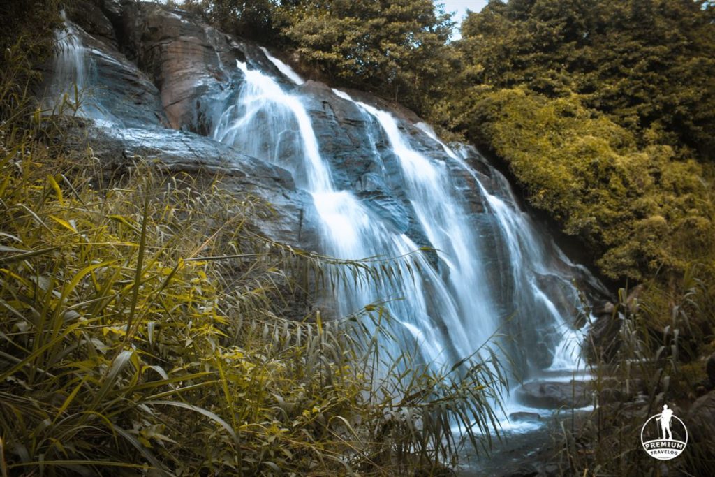
The Knuckles mountain range extends up to Matale – the Hunnasgiriya is located at one end, 1765m above sea level. This area is subject to every climatic condition of the island. A group of five streams flow from here and meet to form the Mahaoya Reservoir, which leads on to Hunas Falls (48m high and 12m wide) and the Sudu Ganga River.
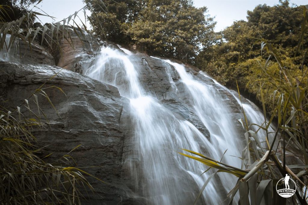
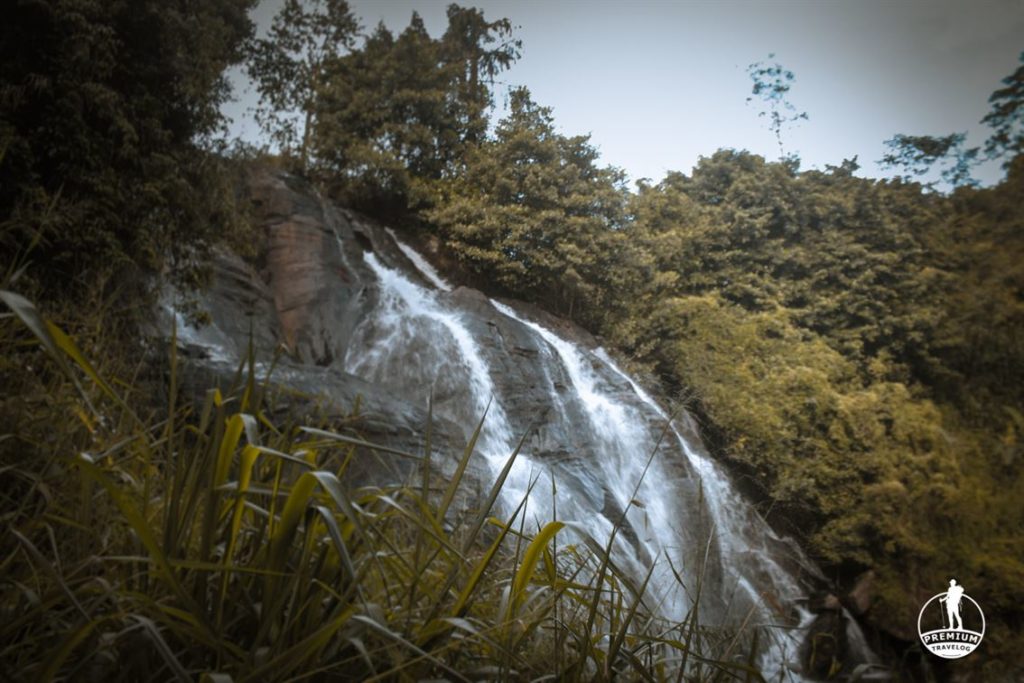
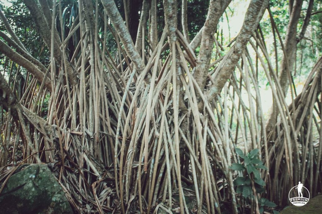
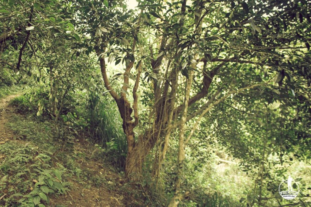
The Upper Hunas Falls lies above the Hunas Falls Hotel in the Hunnasgiriya Estate and its 5min Walk. Nice little waterfall which eventually goes on to create the hunnasgiriya waterfall. Jungle trail is full with leaches. Be extra cautious if you are not a fan.
Travel at Glance
- Direction : Kandy-> Katugastota ->Madawala (Google_Map_Location)
- Transport : Any Medium (Taxi / Public Transport)
- Travel Time: (Form Kandy 1 hrs)
- Accommodation: Amya Hunnas Falls
- Activities: Photography / Nature Trails / Cycling & Mountain Biking / Filming / waterfall Hunting
Tips, Notes and Special Remark
– Leech protection is high at Upper Hunns fall
– Ask directions from locals
– Visit during rainy season
– Do not carry Plastic items, Make sure you bring back everything you took.
Image Gallery


Frequently Asked Questions
How tall is Upper Hunas Falls?
It feeds into the 48-meter, 12-meter-wide Hunas Falls below; the upper falls itself is a short, easy 5-minute walk from the Hunas Falls Hotel (Amaya Hunas Falls).
Is the trail leech-heavy?
Yes – leech protection is strongly recommended on this jungle trail.
When’s the best time to visit?
The rainy season, when the falls carry the most water.
Nearby Kandy-Area Attractions
- Amaya Hunas Falls – the hotel right below, 5 minutes from the falls
- Sembuwatta Lake – a spring-fed lake with a natural swimming pool
- Best Time to Visit Sri Lanka – our full seasonal planning guide

Recent Comments
Langkawi Cable Car vs Sky Bridge: Which to Visit?
2 weeks ago
3-Day Langkawi Itinerary: Beaches, Islands & SkyCab
4 weeks ago
Langkawi Cable Car vs Sky Bridge: Which to Visit?
4 weeks ago